I first published this post as a Facebook picture album, August last year. It’s original purpose was to record what i’d been up to on my little adventures, and to share the pictures and stories with my friends. However, i’m not a huge fan of Facebook for these purposes. Firstly, I wanted a format that allowed a little more flexibility, so that I could give a little more text here, or something other than a picture there. Secondly, sharing my life with Facebook makes me uncomfortable. Having my stories and pictures living on FB’s servers just doesn’t sit right - I won’t get into this now, but suffice to say that i’d rather upload my personality to GitHub at the moment.
This album, and the next, went up on Facebook. But there it stopped, and though I have a few folders of pictures and written logs from further little trips that i’d love to share, I never got around to putting them anywhere public. (Okay, so maybe i’m pretty lazy when it comes to social media, too.) This blog is an attempt to broadcast to the world in a way that feels a little more like I still own my experiences. Thanks to everyone who’s commented on the albums I posted, or mentioned to me their appreciation - I hope that you guys will read and enjoy whatever I get around to posting here!
What follows is mostly a copy of my Facebook album, from August 2015, with a few additions:
| Distance (miles) | Start/Stop | Time Moving | Average/Max Speed (mph) | |
|---|---|---|---|---|
| Day 1 | 21.3 | 19:30/21:30 | 1:50:37 | 11.5/27.6 |
| Day 2 | 50.4 | 10:30/19:30 | 5:49:11 | 8.6/33.3 |
| Day 3 | 20.2 | 10:30/13:00 | 2:03:53 | 9.7/23.7 |
| Total | 91.9 | 9:43:41 | 9.4/33.3 |
So on Thursday I got made redundant, by Sunday I was on a bike. Just a couple of days on the west coast to test out the new bike and kit, and to see if my body can still take it. It was a pretty amazing ride, though!
I wanted somewhere remote…
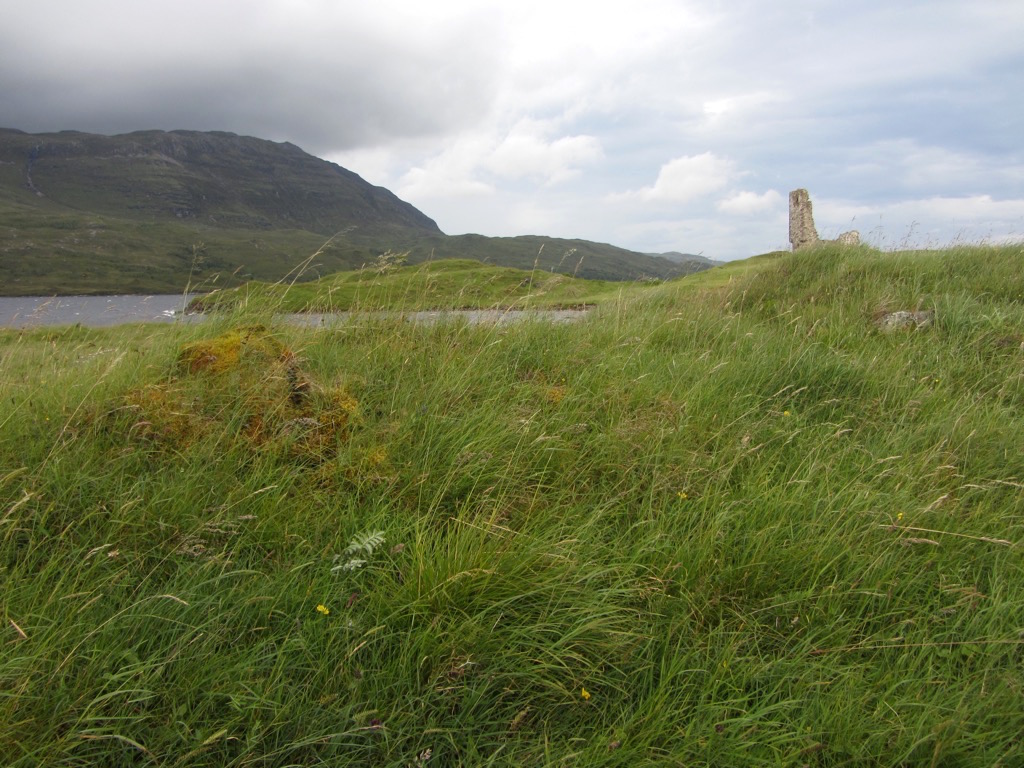
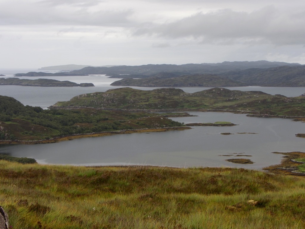
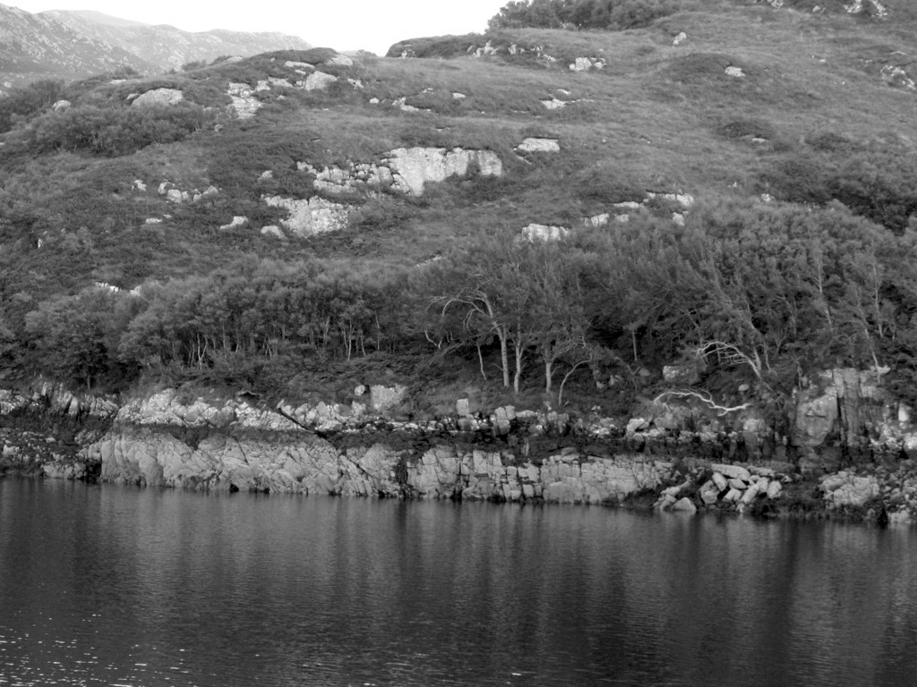
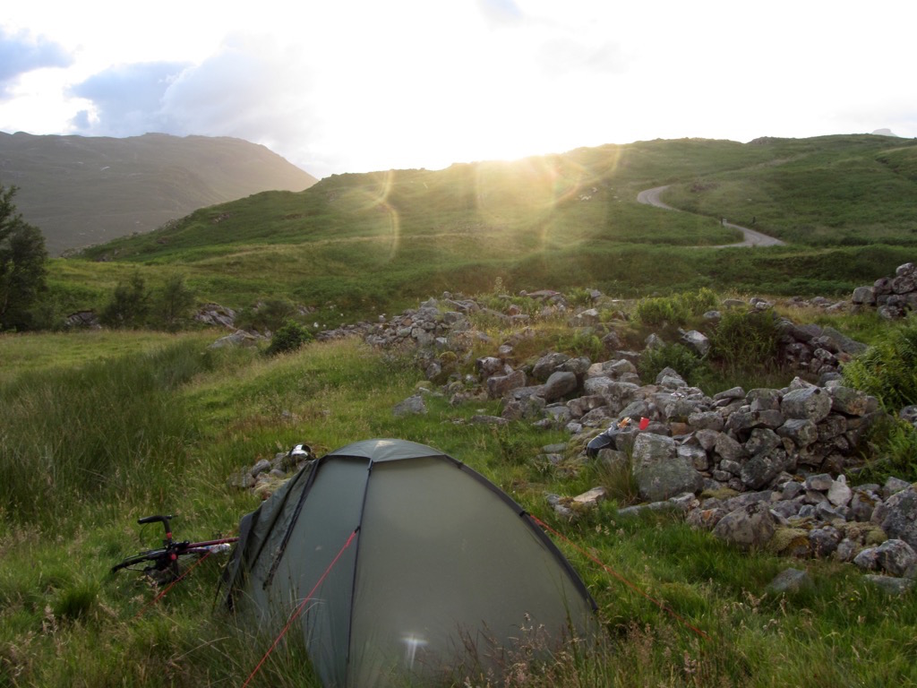
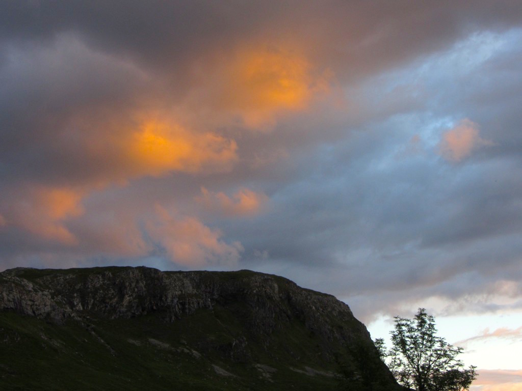
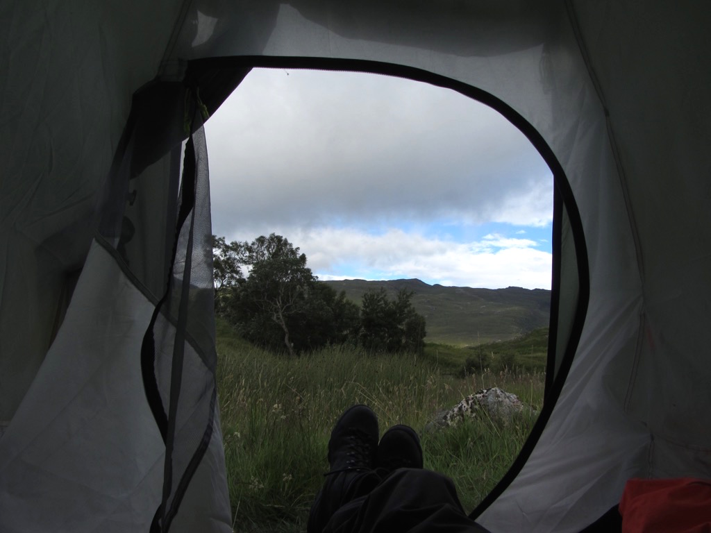
Day 1 started in Oykel Bridge where I parked the car and got going around 7pm. Lots of persistent rain. I didn’t take any photos as the camera was deep in a bag, and I wanted to keep up the momentum. Made it to Ardvreck castle and camped just next to it. This is the view from the tent, morning of day 2:

Leaning out, there’s the castle. Apparently it’s haunted, but I didn’t notice any visitors, until a few tourists came along in the morning.
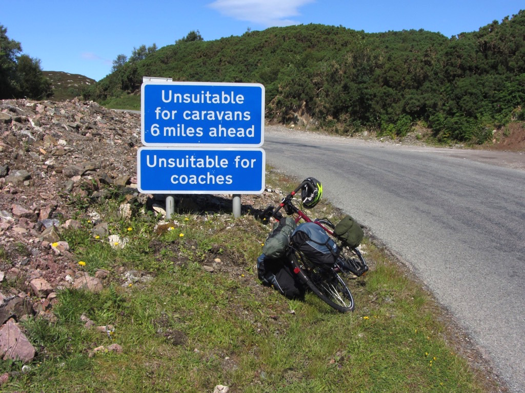
The first stage of day 2 led me to Lochinver. On the way, I met another cyclist who advised me that the coast road is very tough going, but rewarding. As per his advice, I stocked up on food in Lochinver, and took the chance to have a quick brunch and sort out my kit. (Including getting the camera bag mounted on my handlebars - scenic day ahead!)

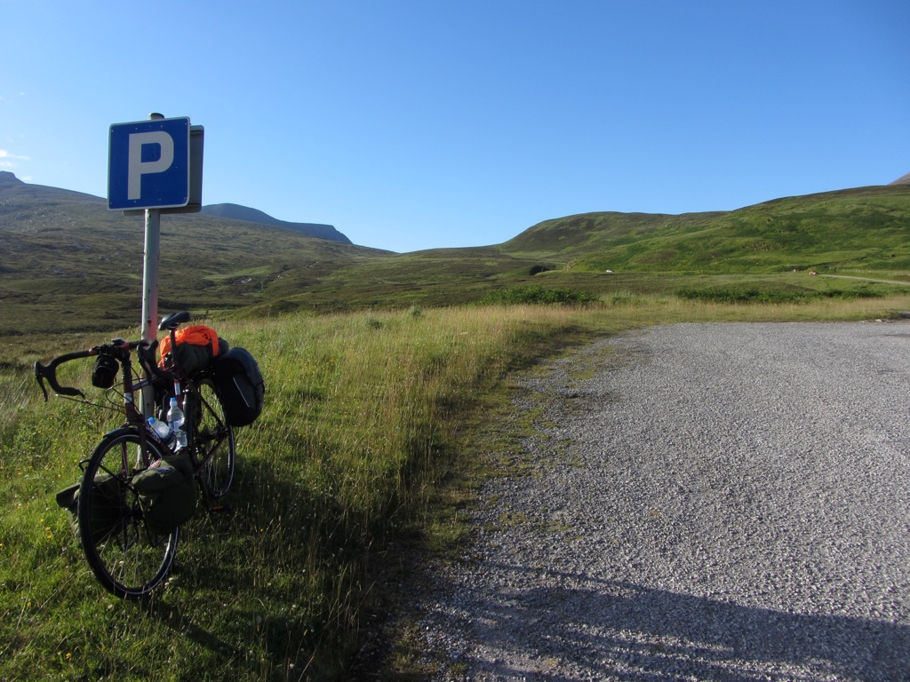
The start of the coast road. Janine, Jess, Joe, remember a similar sign a couple of summers ago?
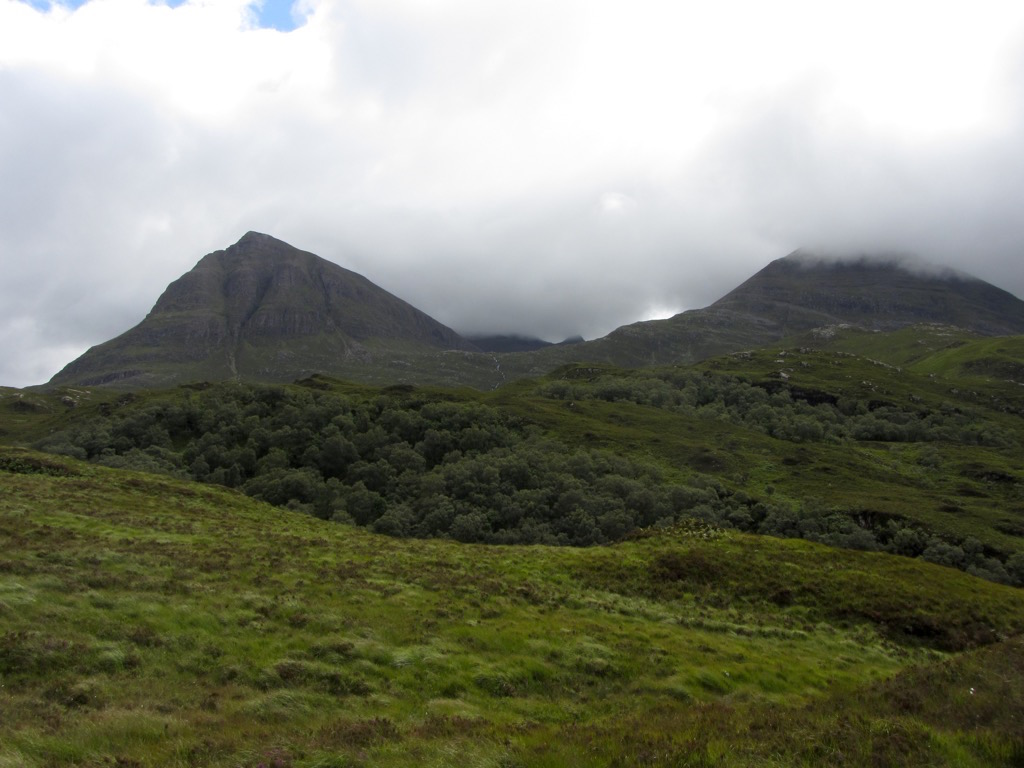
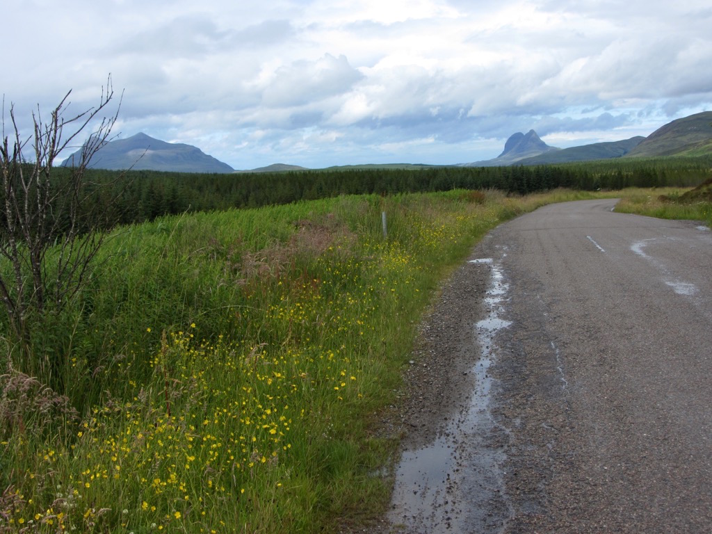
These two huge peaks loomed in the distance. Today i’m cycling around them.
EDIT: Actually, i’m pretty sure this is Suilven, not Quinag as I thought. Anyone who knows the area able to confirm?


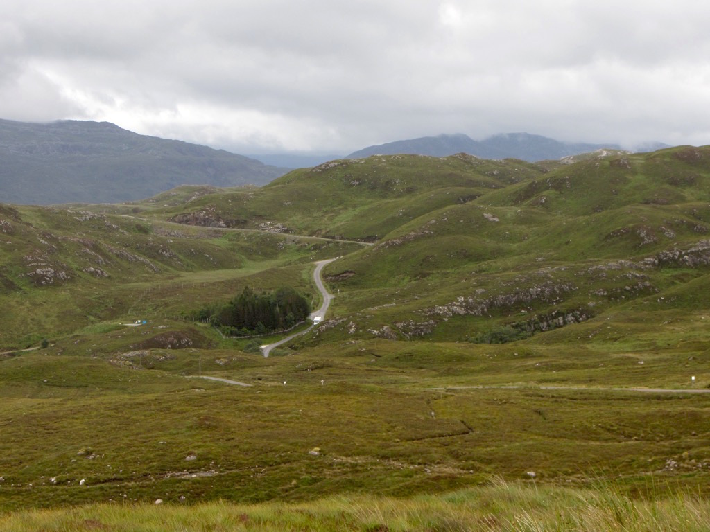
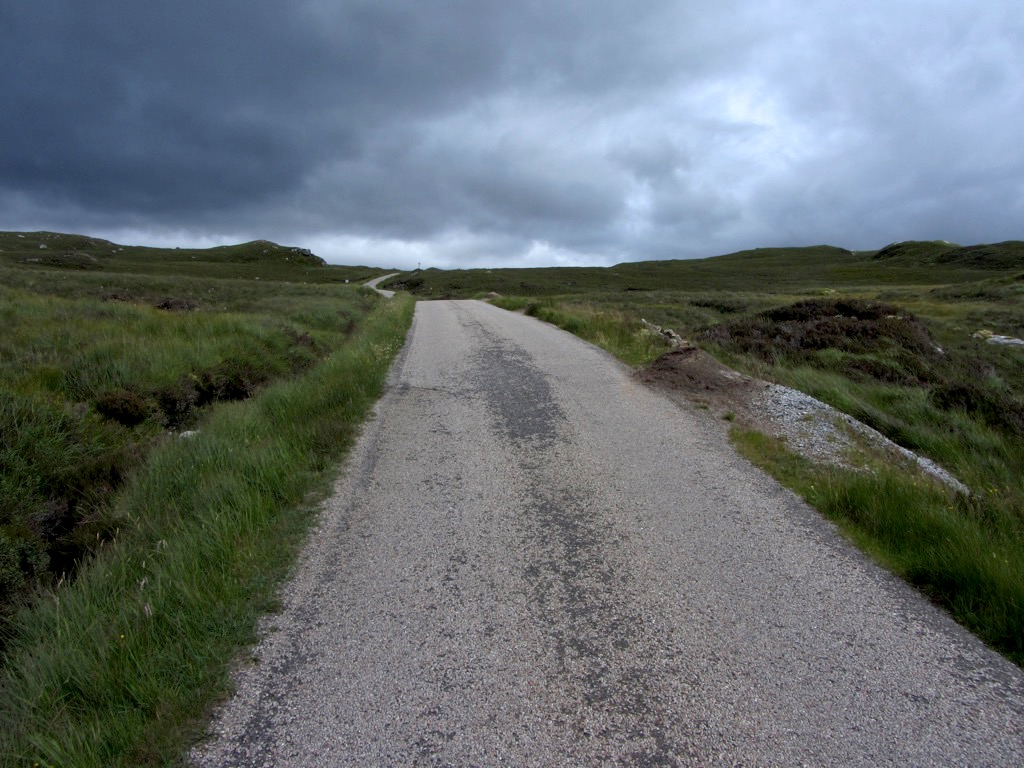
Just a few hills in. Such a beautiful little roads, winding and twisting, climbing and dropping through incredible scenery. The weather was mostly obliging for day 2.
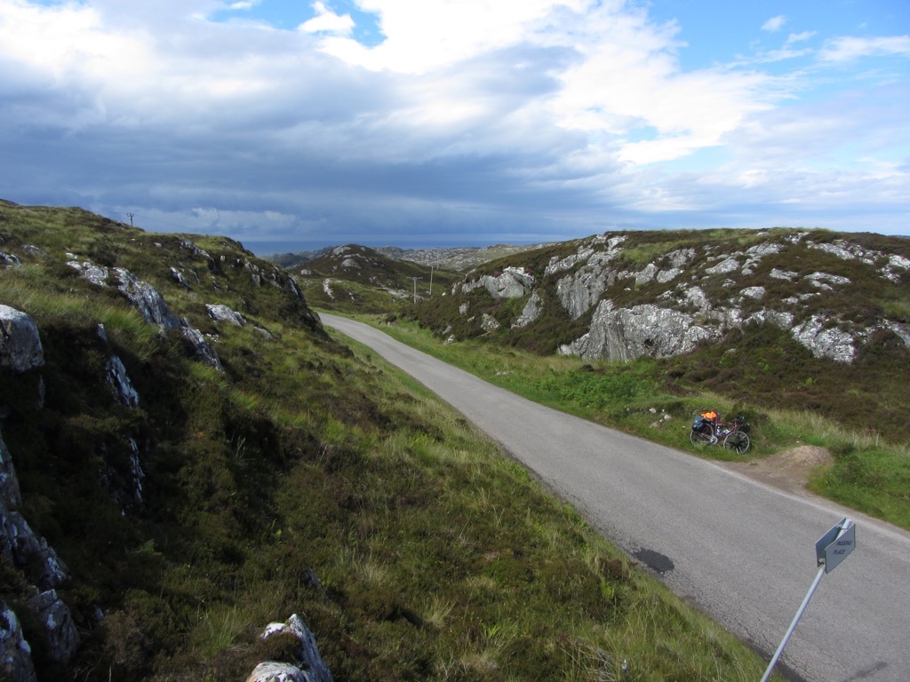
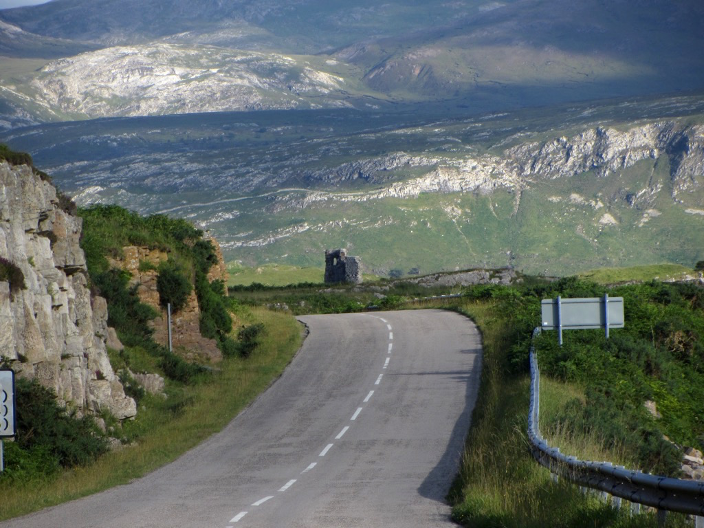
The road ahead…
Fucking traffic. I thought I might have left it behind in Aberdeen, but no.
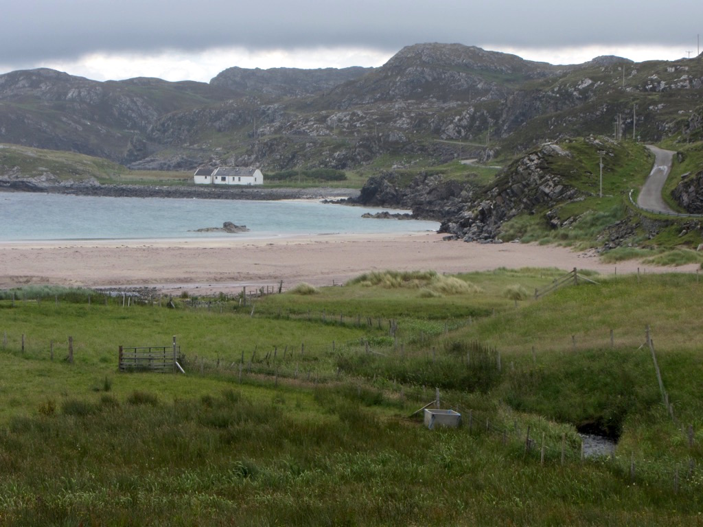
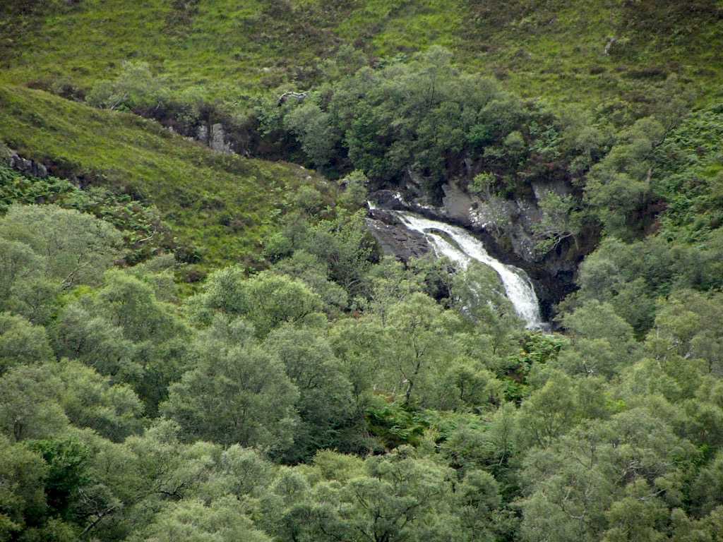
Suddenly, a quaint sandy beach. I think it was lost.
Stopped at Drumbeg for a late lunch of tinned ‘meatballs’. Much tastier than they looked, but i’m not sure they deserved the ‘meatball’ designation. Nice views, anyway. The weather made an appearance.
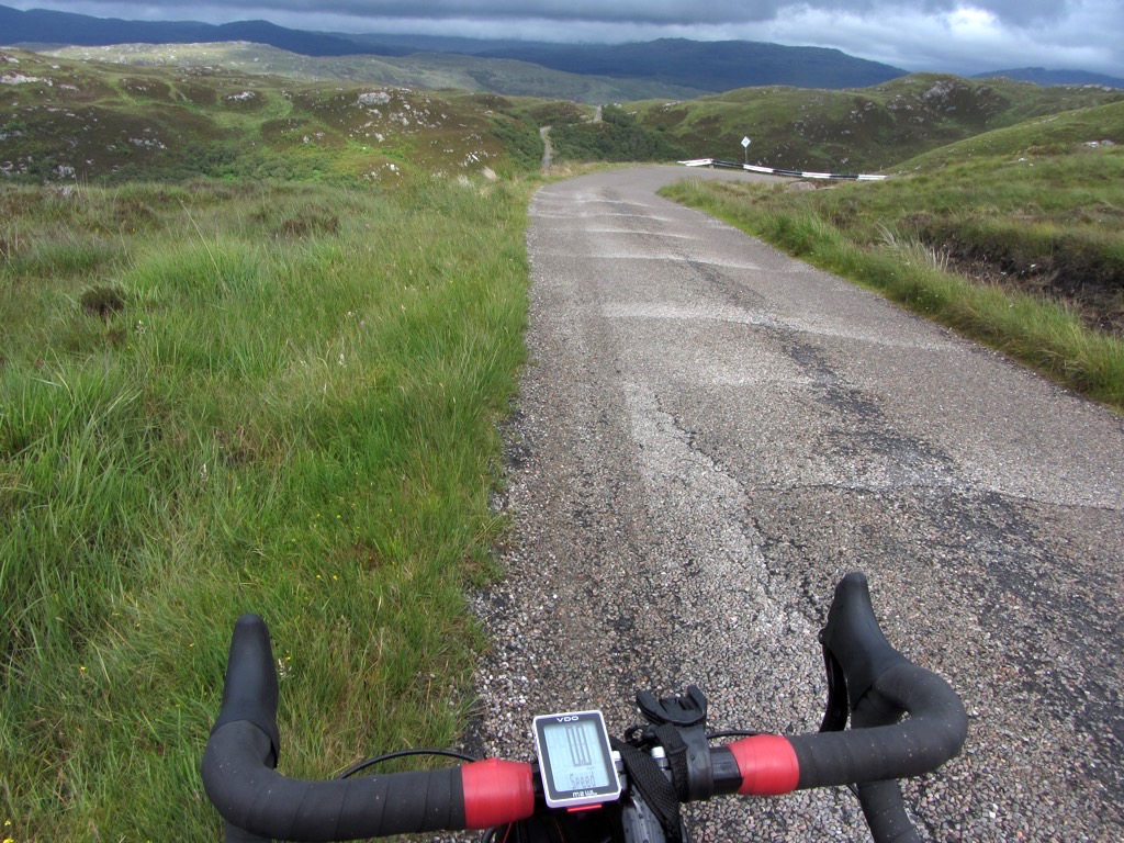
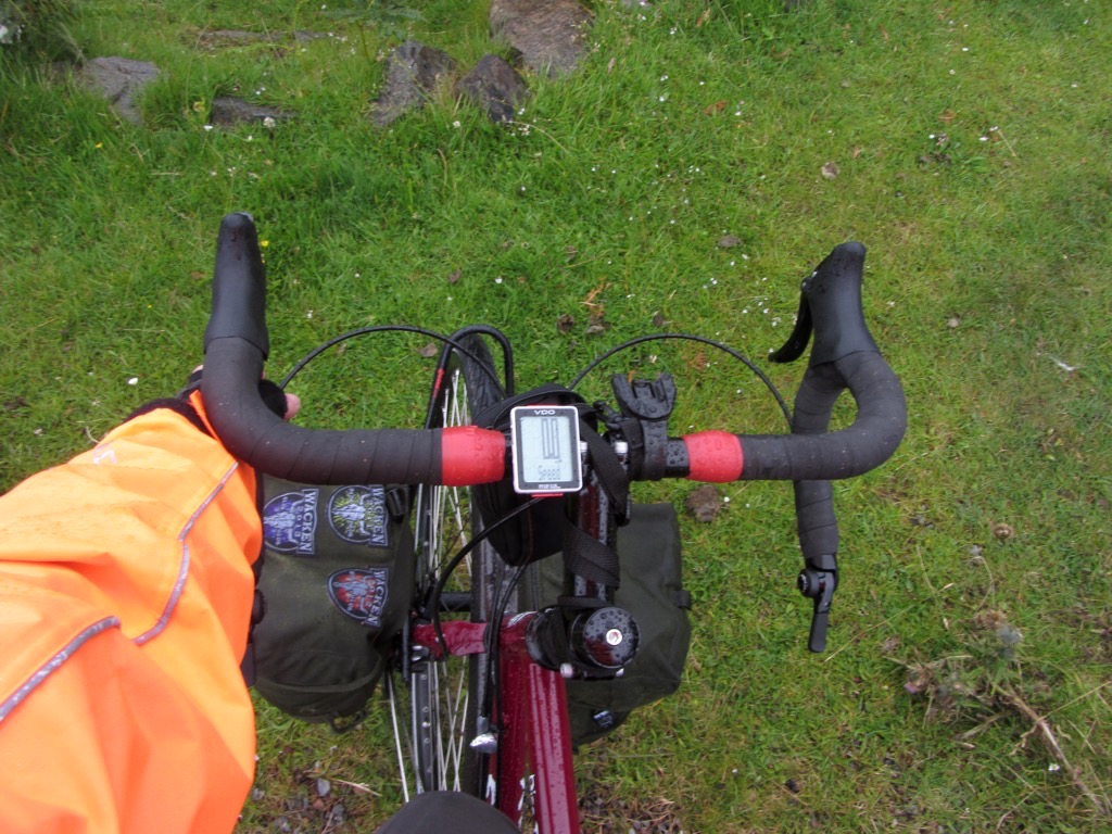
Here’s the view from the cockpit, complete with highlighter-orange jacketsleeve. I could be seen from the other coast.

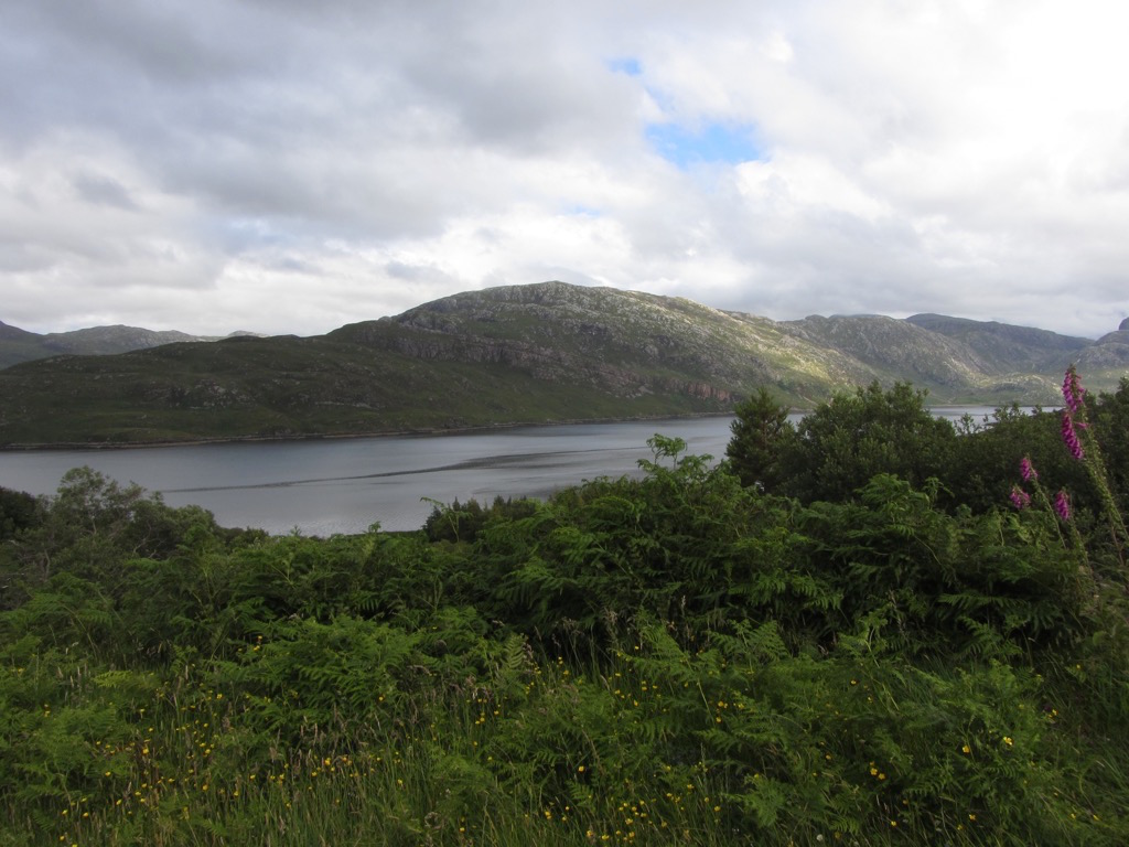
Not quite Norwegian fjord, but not too far off.
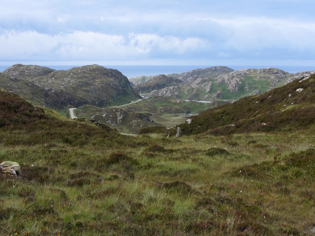
The road ahead, far below. The long descents held me very aware of the height that i’d have to climb again afterwards.

Looking behind. I’ve come a looong way by this point, up and down a few hills…

…but gladly, still plenty more hills to go!

Stopping halfway up a climb to admire this view, I met a French cyclist who’d been on the road since April 1st heading the other way. He’d come from way up north that morning. I also met a couple of hikers who commented on my Amon Amarth shirt, saying they’d seen them in Camden. Wasn’t expecting to meet many metalheads up here!

This is the hill climbed so far, before the break. A particularly nasty one.
Those peaks are getting closer again.
Back on with the climb!
Almost reached Kylesku, and i’m rewarded with a gneiss view. The geology here is incredible - it’s so clear and obvious. Here, on the other side of the rock, we see the building blocks of Earth piled on top of each other. This is the Glencoul Thrust, with 540 million year old quartzite sandwiched between layers of 3000 million year old gneiss.
Kylesku is a pretty, picturesque little place.
Not much in it, though.


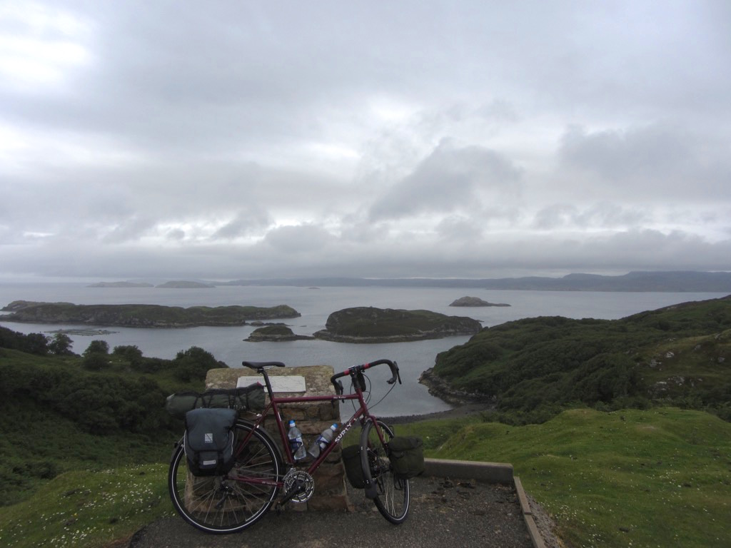
A friendly Australian mining engineer who I chatted to in a little rock (as in geology) exhibition recommended I visit the bridge: she said it’s a proud marvel of engineering. That it is, but I was mainly impressed by how sci-fi it looked, sitting amidst the ancient hills. I was tempted to call it a day here and camp down at the base of the bridge, but thought i’d push back to Inchnadamph.

The Australian warned that though Inchnadamph was only 7 miles, it was over a hill. One last hill can’t be too bad, can it? Here’s most of the way up that huge, epic hill, looking back on the climb.

The way down the other side was thrilling. These two bikers overtook me before stopping in this layby. They said ‘wow’ to each other, and carried on. I’d say they covered all the important points.

Finally, Ardvreck castle looms ahead! Almost back to where I started.
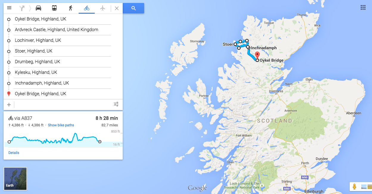
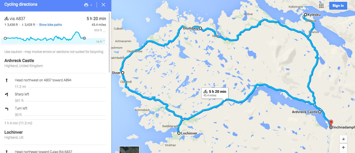
This is the route plan for day 2. Ended up doing 50 miles. Not too crazy, but look at the total ascent that Google reports: 3438ft. For perspective, a Munro is a hill over 3000ft. Pretty proud of that one.
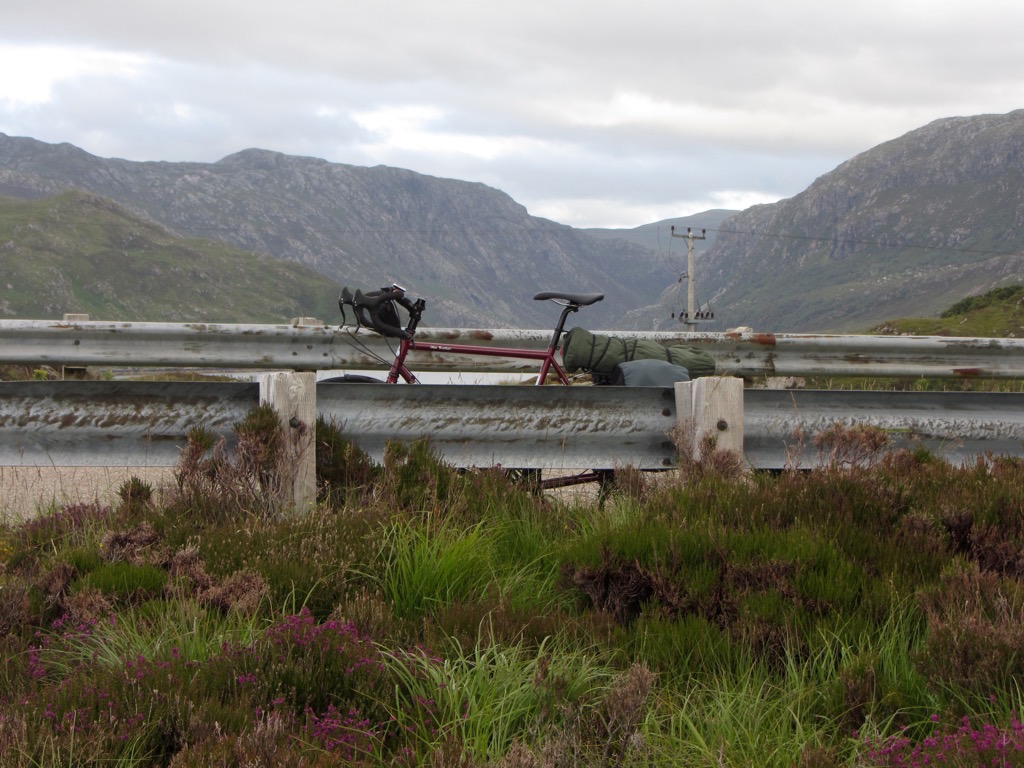
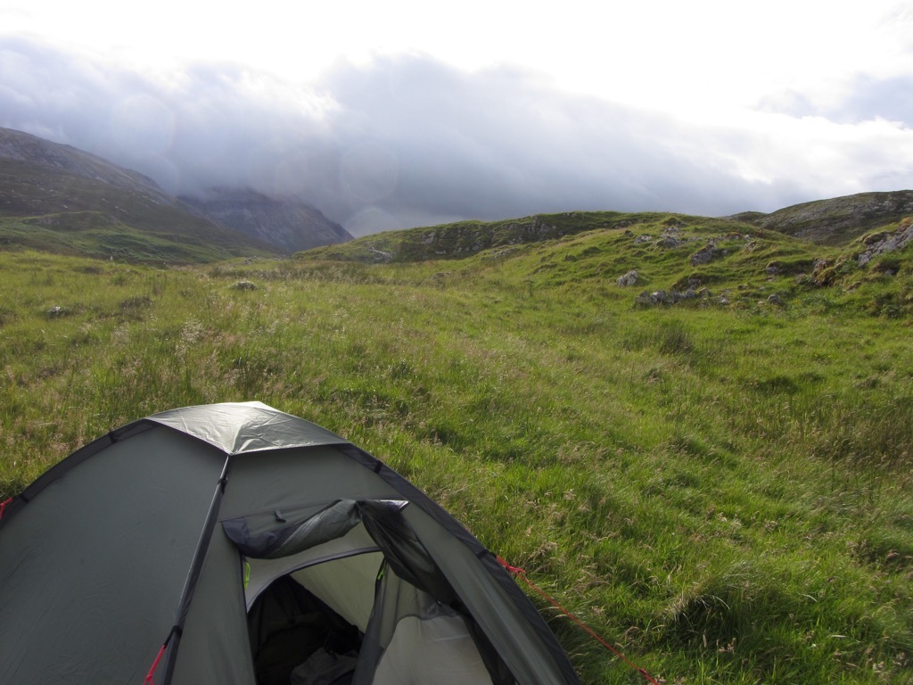
Camp made in a quiet spot on the Inchnadamph estate.
Cheers, weather!


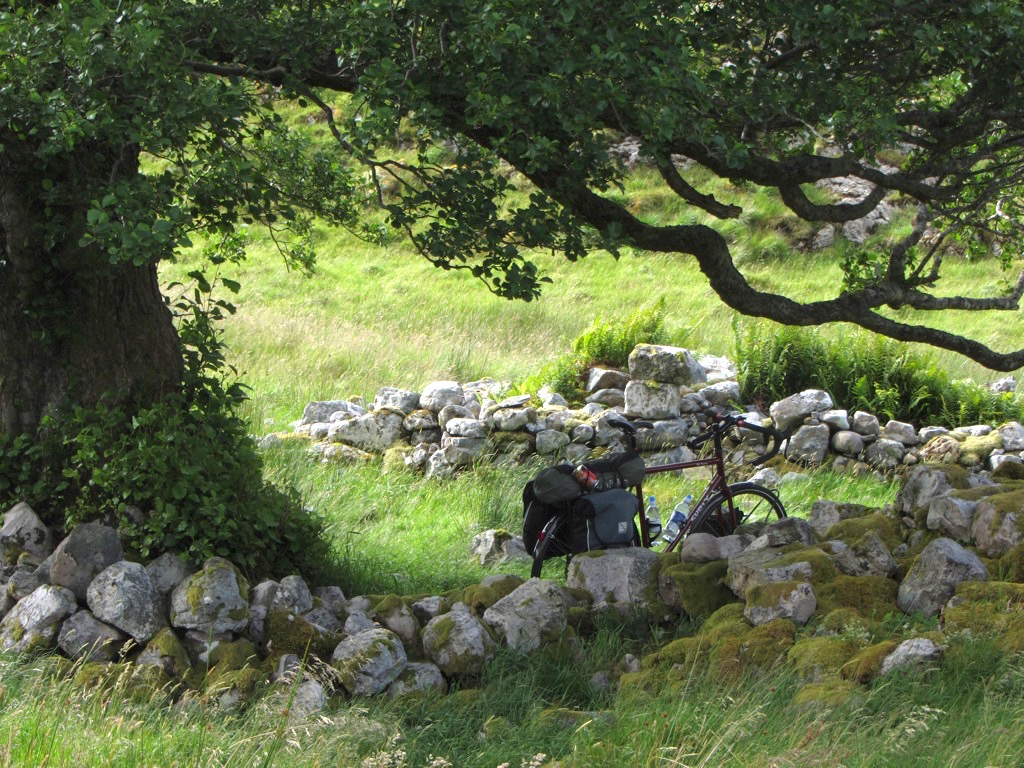
Excuse the crappy photo - you can make out my tent to the right of the tree here. Nice spot to call home for a night!

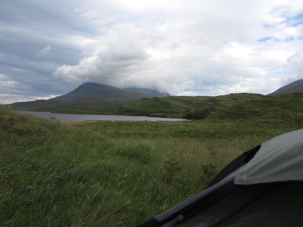
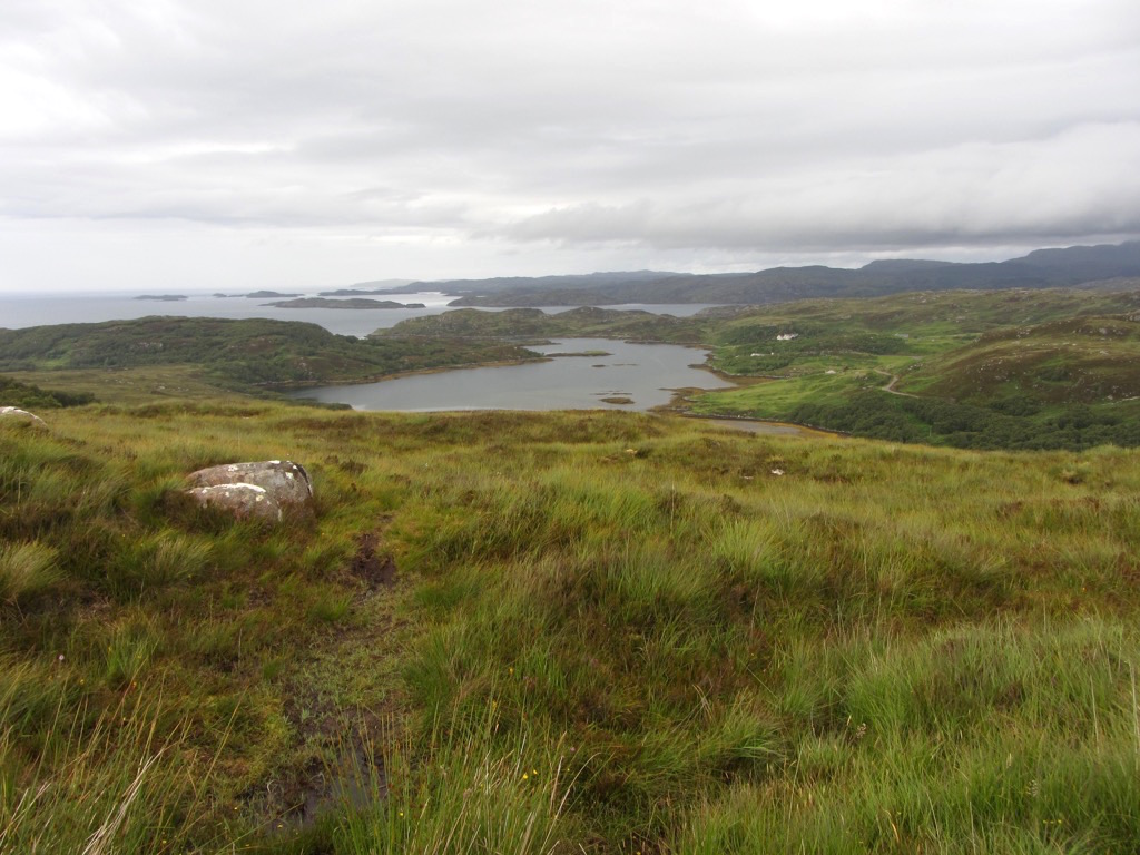
And the view from the tent, morning of day 3.
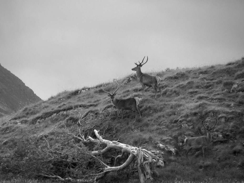
These majestic guys came and hung out with me over breakfast. They strutted around pulling badass poses.

Here’s some perspective on how close they were, if you can make them out on the hill.
“Hey look at me, i’m on the Jagermeister bottle!”
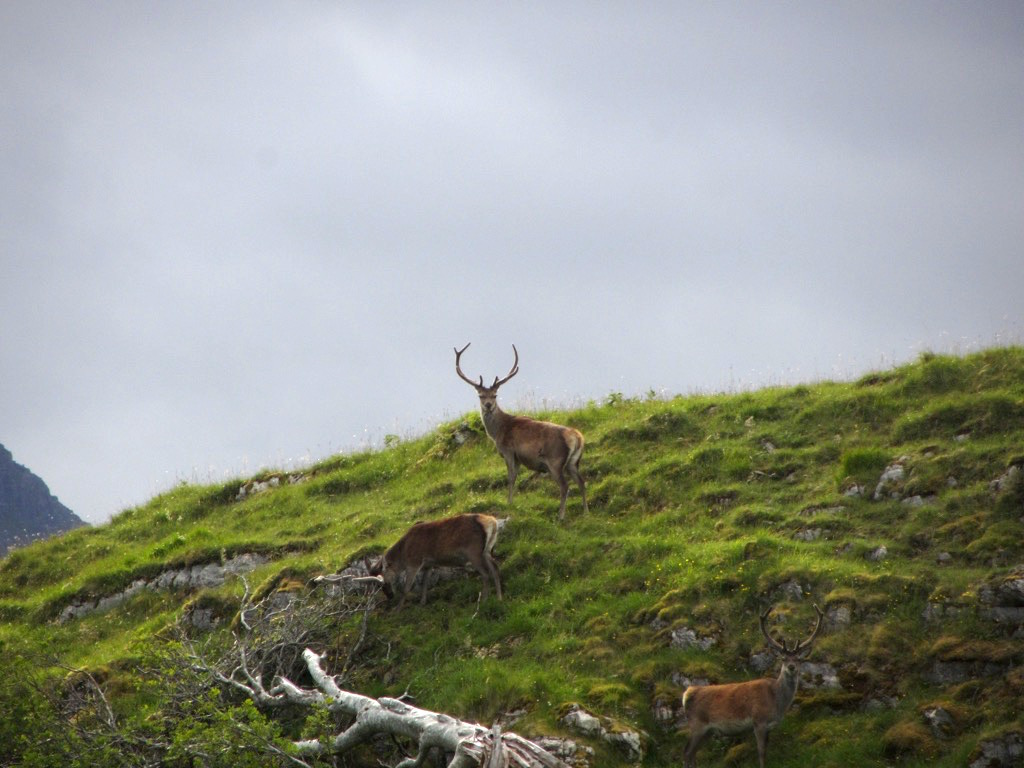
“Quick, that guy is taking pictures, stop eating and pose!”
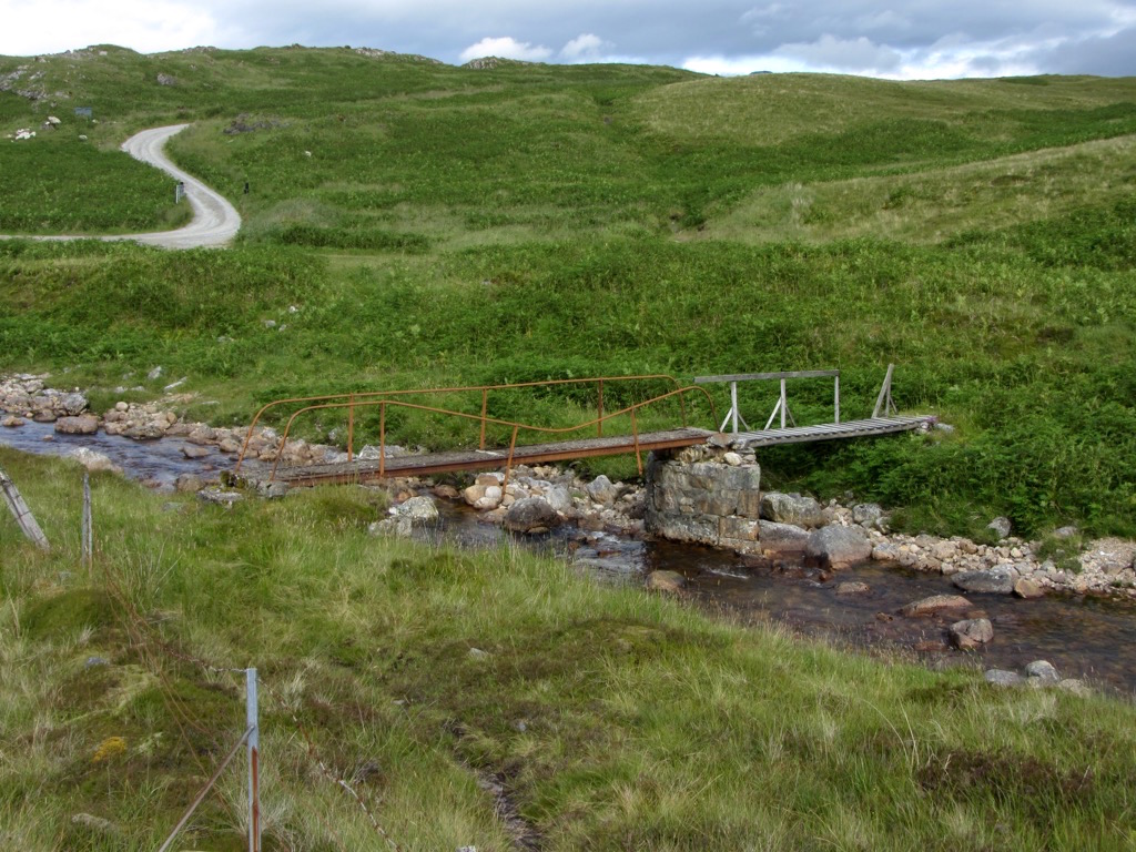
This is the little bridge I had to cross to get to my tent.
Ready to set off again.
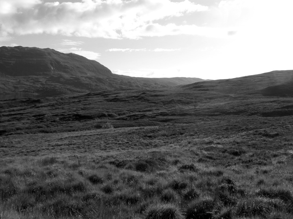
Leaving this landscape behind, so soon!
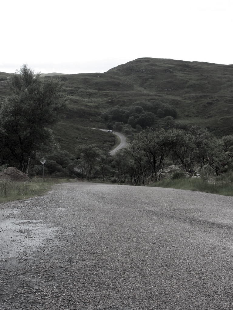
Ahead, the rest of Scotland is ever welcoming. The first few miles were really gruelling, with a bitter cold headwind that brought biting rain along too, and a nasty and deceptive climb.
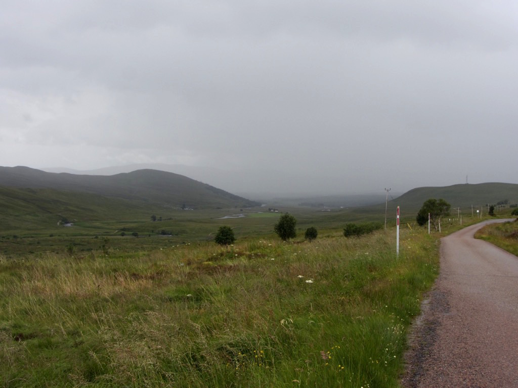
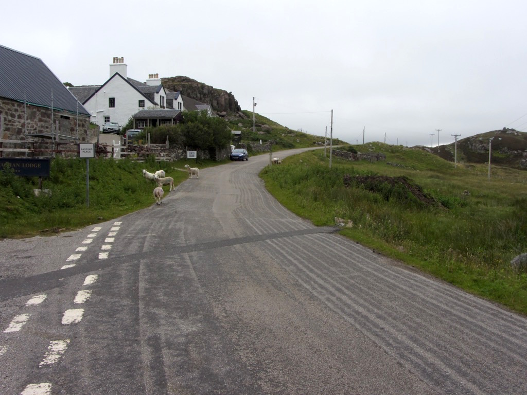
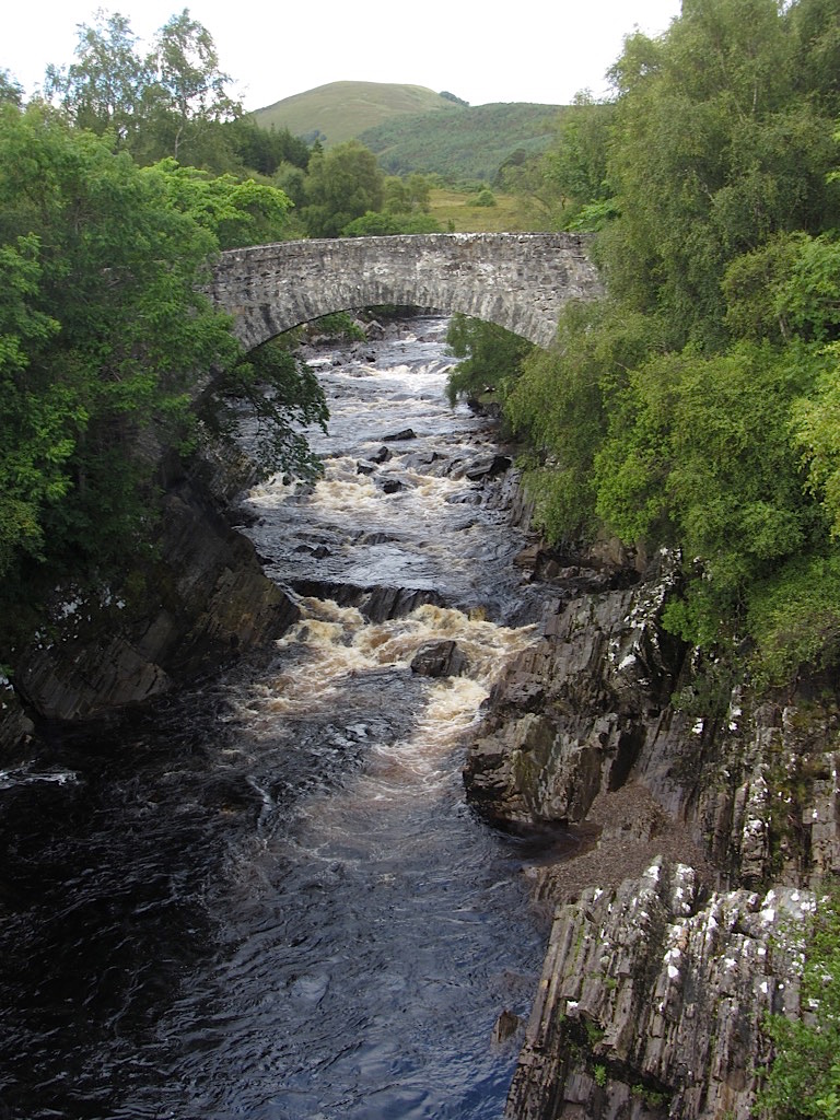
20 miles along, i’m almost back - here’s Oykel bridge itself.
…and we’re done! I’m not one for selfies, but here’s a victory-selfie for proof.
